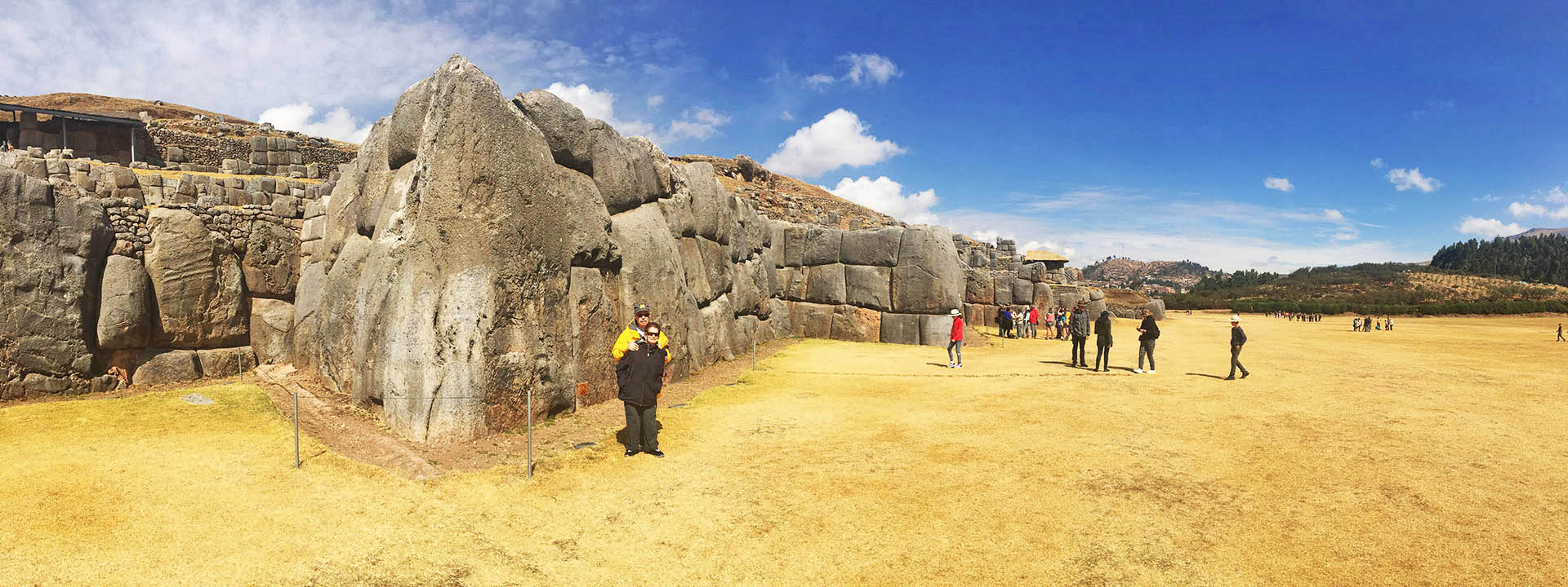
There were several prominent Andean civilizations in Ancient Peru; Mochica, and Chimu in the north, Tiahuanaco, Wari and Paracas in the south and most notably, Inca, whose empire (‘Tawantinsuyo’ – ‘Four Regions Sun Empire’) was captured by the Spanish conquistadores in 1533.
Much of post-independence political life in Peru has been dominated by traditional ruling elites and military rule. In 1980, a democratic government, led by Alan García Pérez, came into power. However, after an ambitious economic plan failed, Peru experienced many financial problems and there was a growth of violent rebellion.
After Alberto Fujimori’s election as President in 1990, there was dramatic improvement in the economy and progress in curtailing terrorist activity. In 1995, he was re-elected for a second term as President with a resounding majority. However, his increased reliance on authoritarian measures and an economic slump in the late 1990s saw
his popularity decrease. He won a third term of office in the elections of 2000 amidst much controversy – 3 consecutive terms as president is not permitted – and there were also accusations of fraud. He was finally ousted as leader in November of that year due to corruption allegations and international pressure.
A caretaker government oversaw new elections in 2001 and Alejandro Toledo was elected as President.
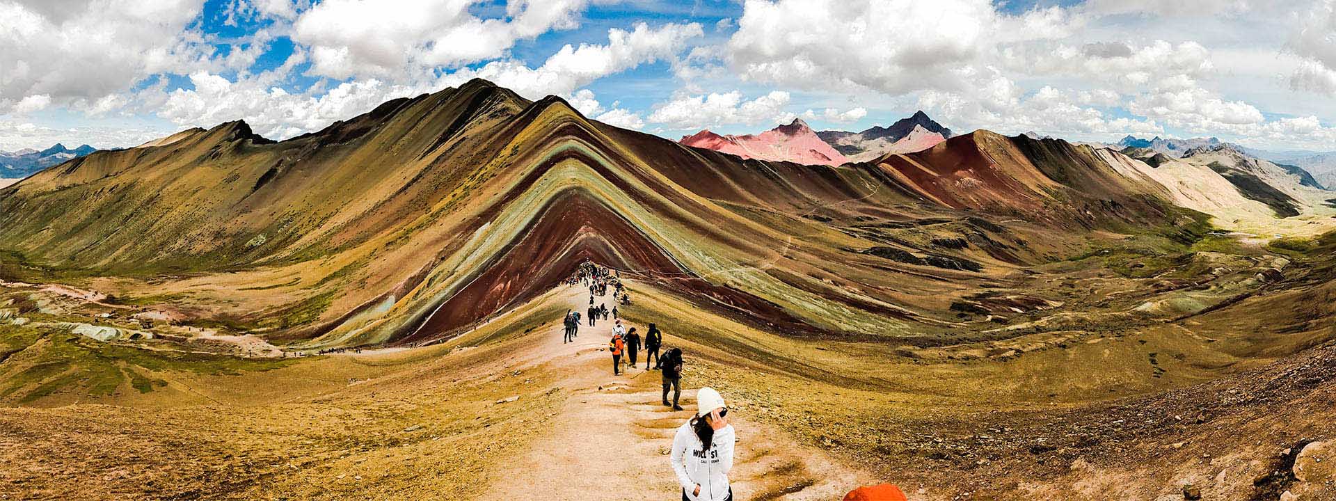
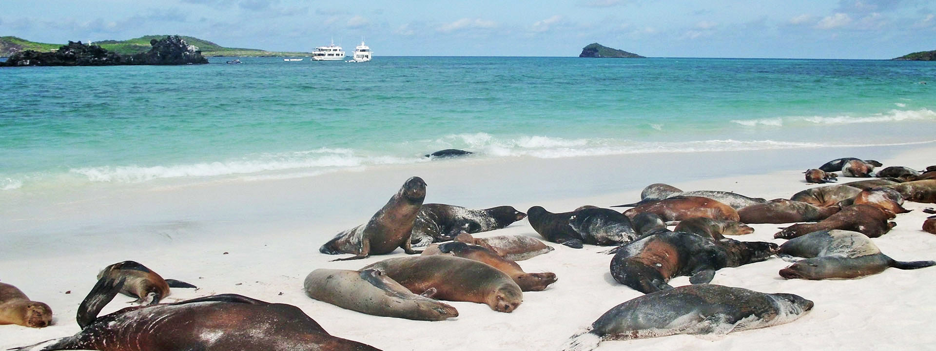
Peru is one of the 10 mega-diverse countries in the world; it has 82 of the 104 zones of life in the world!
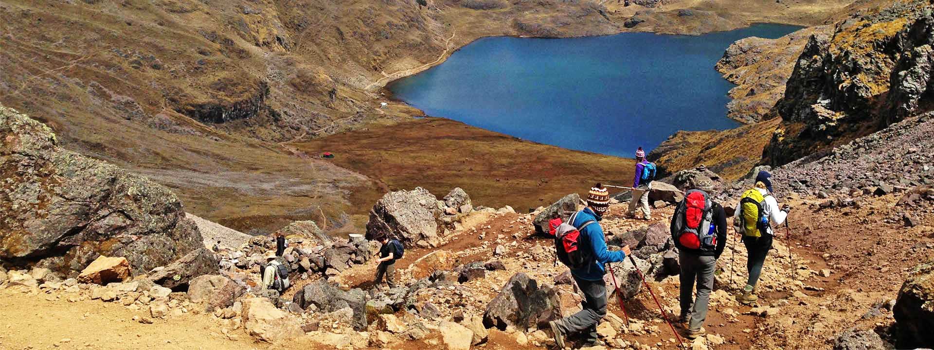
An incredible variety of regions and micro-regions, that have an amazing amount of endemic plants and animals, can be found in Peru. In just a few hours you can pass through different ecosystems and experience unbelievable contrasts in weather conditions, ranging from tropical (30°c+) on the north coast, humid in the eastern jungle to freezing temperatures in the high Andes (-25°c).
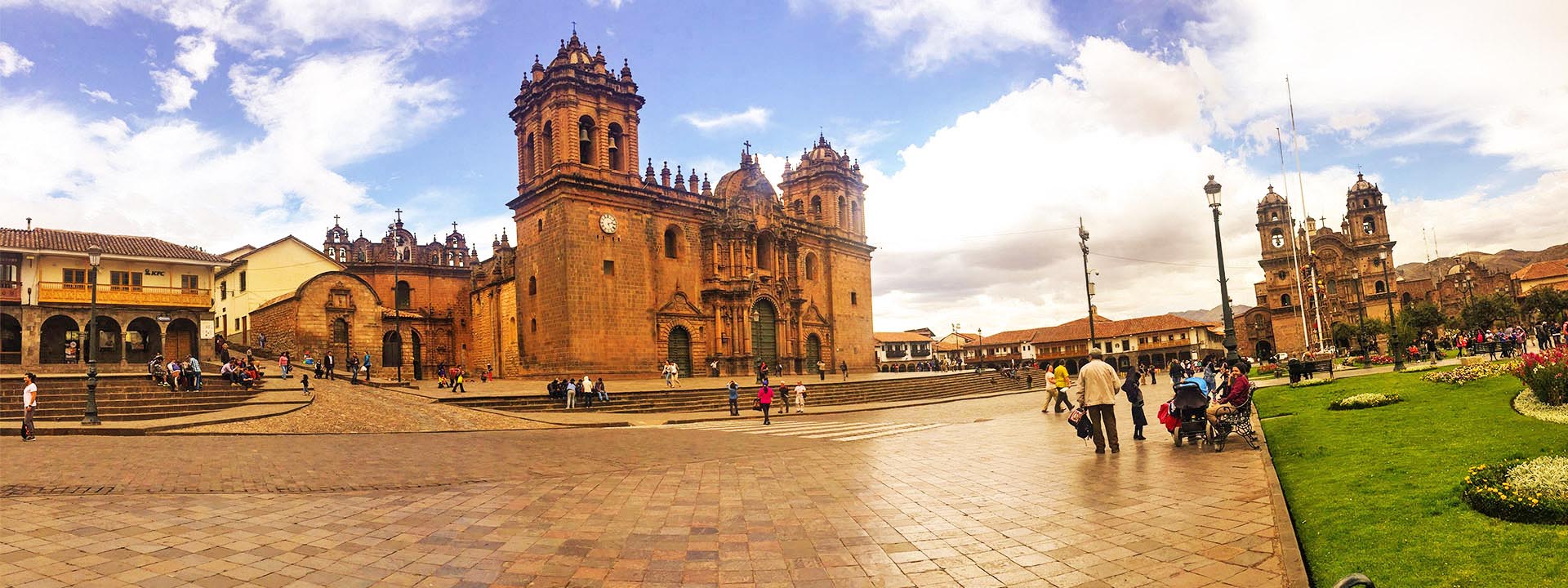
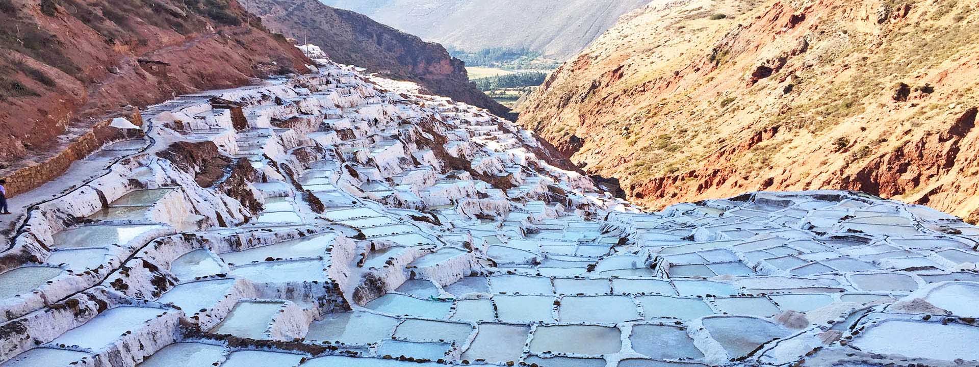
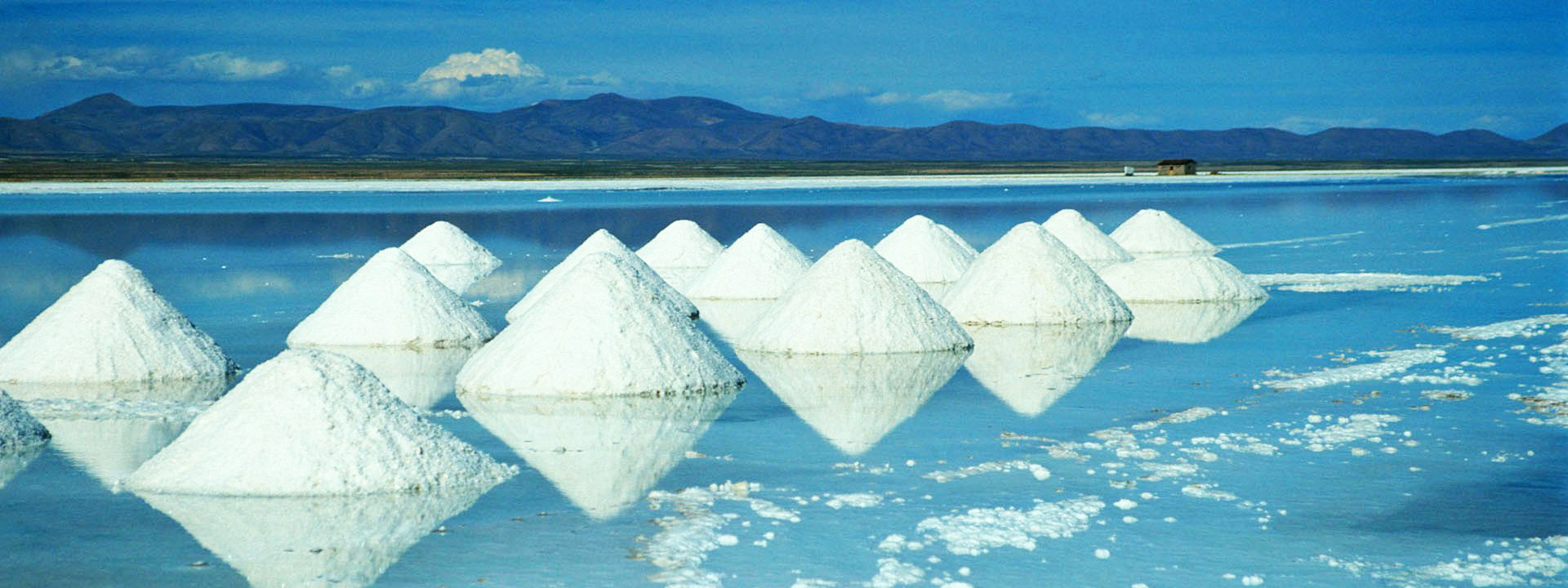
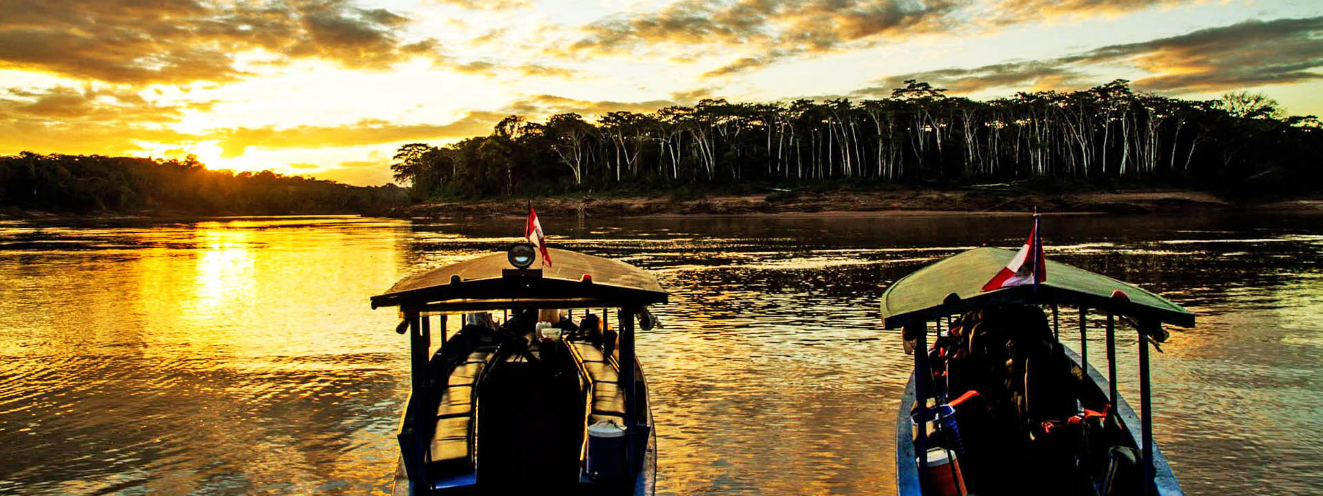
It is divided into western coastal plain (Costa – 12%), high and rugged Andes in the centre (Sierra – 30%), and the eastern lowland jungle of the Amazon Basin (Selva – 58% of the total area of Peru).
earthquakes, tsunamis, flooding, landslides and mild volcanic activity
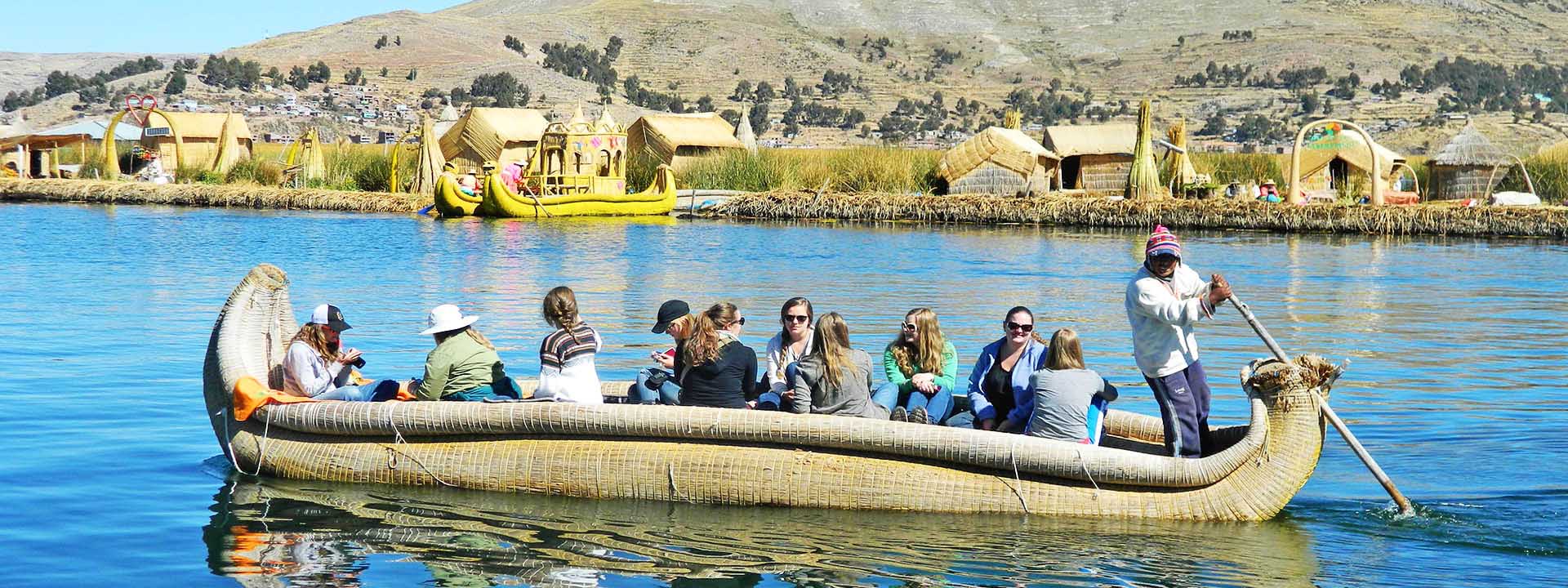
Geography note: Peru shares control of Lake Titicaca, the world’s highest navigable lake, with Bolivia; a remote slope of Nevado Mismi, a 5316m/17440ft peak, is the ultimate source of the Amazon River
24 regions and 1 constitutional province* (provincia constitucional); Amazonas, Ancash, Apurimac, Arequipa, Ayacucho, Cajamarca, Callao*, Cusco, Huancavelica, Huanuco, Ica, Junin, La Libertad, Lambayeque, Lima, Loreto, Madre de Dios, Moquegua, Pasco, Piura, Puno, San Martin, Tacna, Tumbes, Ucayali
Peru is implementing a decentralization program in which these 25 administrative divisions will begin to exercise greater governmental authority over their territories. In November 2002, voters chose their new regional presidents and other regional leaders; the authority that the regional government will exercise has not yet been clearly defined, but it will be devolved to the regions over the course of several years.
28 July 1821 – from Spain (National Holiday)
Suffrage: 18 years of age; universal and compulsory until the age of 70 (members of the military do not vote)
President: Alejandro Toledo (2002-2007)
Peru’s geography is reflected in its economy – an arid coastal region, the Andes inland, and tropical lands bordering Colombia and Brazil. Copious mineral resources are found in the mountainous areas and Peru’s coastal waters provide superb fishing grounds.
However, overdependence on minerals and metals means that the economy fluctuates according to world prices and also the lack of infrastructure in the country does not encourage foreign trade and investment.
The economic situation has improved in recent years, nevertheless, and in 2002 and 2003, the country’s economy was one of the fastest growing in Latin America, growing by 5% and 4%, respectively, with the exchange rate stable and an annual inflation lower than 2%.
GDP per capita: purchasing power parity – $5,200 (2003 est.)
Industries: mining of metals, petroleum, fishing, textiles, clothing, food processing, cement, auto assembly, steel, shipbuilding, metal fabrication
Currency: nuevo sol (PEN)
Exchange rates: Nuevo Sol per US dollar – 3.48 (2003), 3.52 (2002), 3.51 (2001), 3.49 (2000), 3.38 (1999)
Peru’s climate can be divided into two seasons – wet and dry – though this can vary depending on the region. Temperature is mostly influenced by elevation: the higher you climb, the cooler it becomes.
Peru’s peak tourist season is from June to August, which is the dry season in the Andean highlands. It’s also the best time to go if you’re interested in hiking or mountain climbing. While travelers visit the highlands year-round, the wettest months, December to March, make trekking a muddy proposition. Many of the major fiestas occur around this time and continue undiminished in spite of heavy rain.
On the coast, Peruvians visit the beach during the sunny, humid months from late December through March. The rest of the year, the coast is clothed in mist. In the eastern rain forests, it naturally rains a lot. The wettest months are December to May, but travelers visit year-round; it rarely rains for more than a few hours at a time and there’s plenty of sunshine to enjoy.