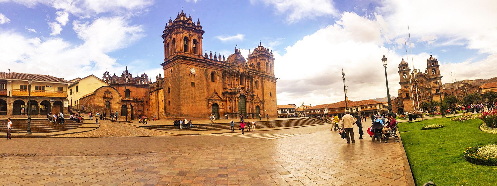
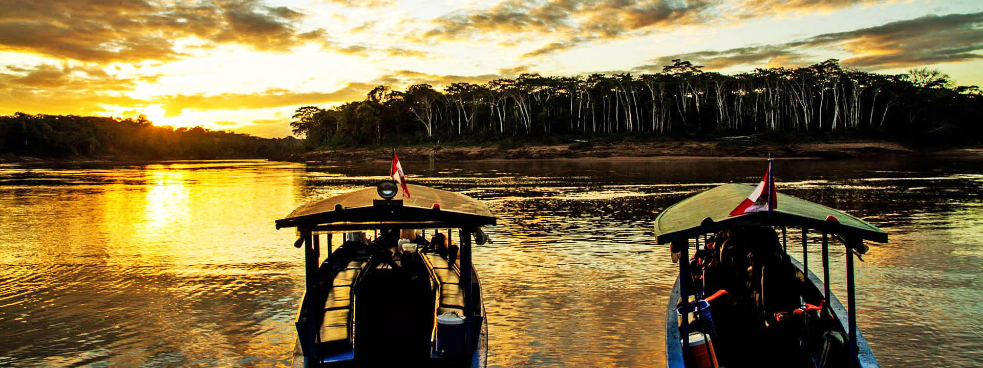
SALKANTAY TREK TO MACHUPICCHU 4 DAYS / 3 NIGHTS – PRIVATE SERVICE
This amazing trek runs beneath the sacred Salkantay mountain (6.271m/20569ft), one of the highest and most stunning in the Peruvian Andes, passing through Quechua communities and lesser-known Inca ruins, to finally reach Aguas Calientes on the third day. The impressive Sacred Inca city of Machupicchu is visited on the last day of the program. This itinerary is an interesting alternative for those not having found spaces on the Inca Trail trek to Machupicchu.
Itinerary
Day 1 Cusco to Andenes
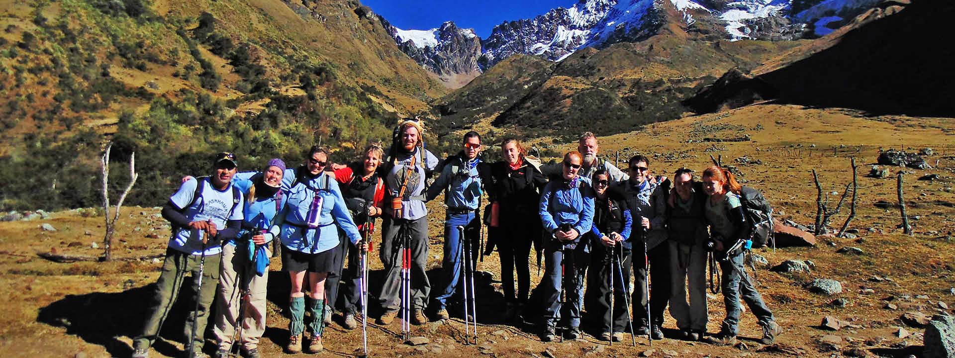
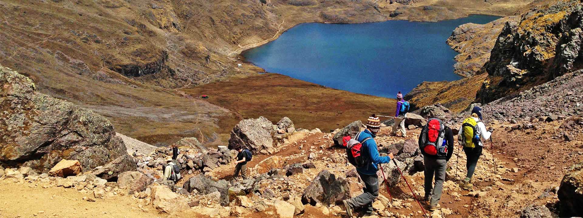
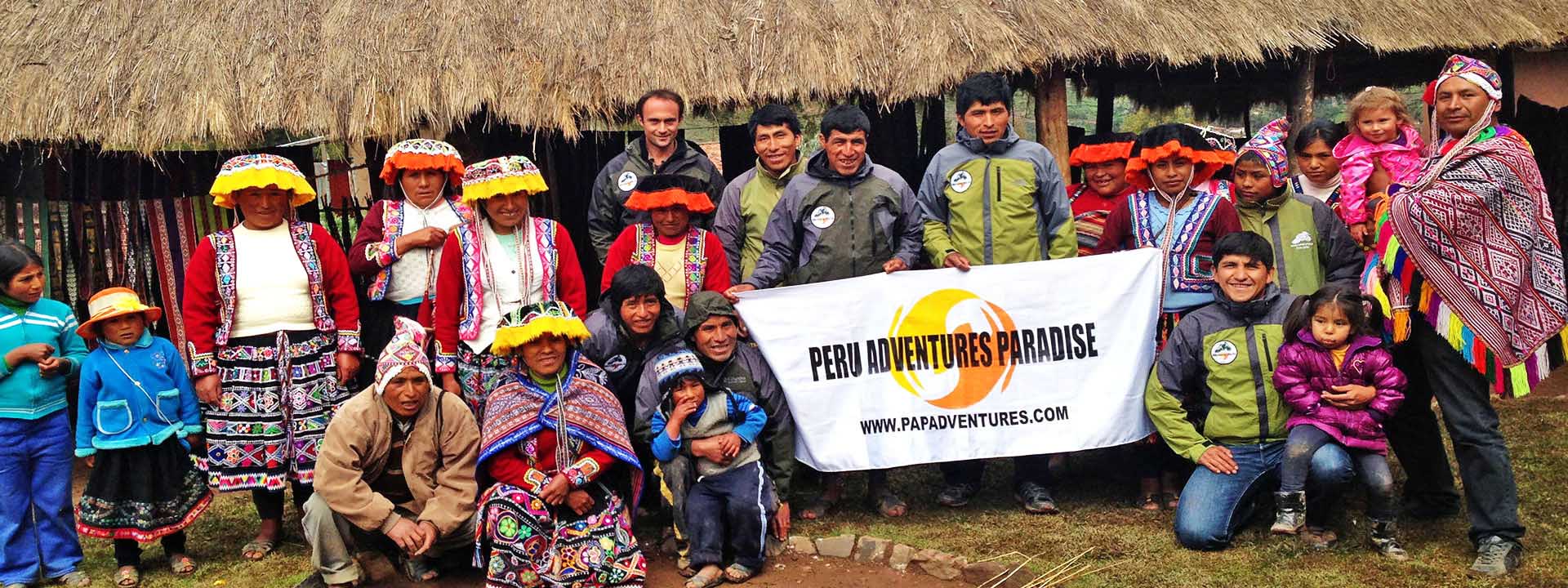
We leave Cusco at 04.00 am in a private transport and start a scenic morning bus-ride to our trek starting point at Soraypampa. Along the four-hour drive, we drive through the town of Limatambo (2100m/6888ft), an important point of access to the city of Cusco during the time of the Inca Empire, where the archaeological remains of Tarawasi are located. The road continues up a beaten track along the right shore of the Apurimac River and crosses the town of Mollepata (2800m/9184ft) and the small community of Cruzpata (2750m/9020ft) to finally reach Soraypampa (3800m/12464ft), the starting point of the trek, where we meet our wranglers and horses. After a short introduction and a quick breakfast, we start our hike towards the base of Mt. Salkantay (6271m/20569ft), crossing Salkantaypampa, and then starting a 2 hrs steep ascent to Soyroccocha, just next to the impressive glacier of Salkantay (4200m/13776ft). Continuing uphill, we reach the Abra Huayracmachay (4600m/15088ft), the highest mountain pass in the program where, besides enjoying stunning views of the surrounding glaciers and the snow-capped peaks of the Vilcabamba Range with the south face of Salkantay towering above us, we may also observe chinchillas and condors in their natural habitat. From this point, we start descending towards a more tropical climate and into the so-called cloud forest. Along the route, we can see the remains of an ancient Inca path, which is approximately 6 meters wide. A long though easy descent brings us late afternoon to our first campsite at Andenes (3,500m/11480ft).
Meals
B, L, D
Total distance
18 km (11,25 miles)
Estimated time
8-9 hours
Maximum altitude point
4,600 m (15,088 ft)
Campsite altitude
3,500 m (11,480 ft)
Day 2 Andenes to Lucmabamba
Today we continue our hike with an easy downhill walk along the Salkantay River, enjoying the increasingly lush vegetation, passing waterfalls, passion fruit and coffee plantations. The arid highland landscape begins to transform into a cloud forest filled with trees and bromeliads. After 1,5-2 hours we arrive at the settlement of Chaullay, and after another 45 minutes to the town of Collpapampa. From Collpapampa, the Salkantay River becomes the Santa Teresa River. After a rest, we continue our descent to the banks of the Totora River, then passing the waterfalls at Coripacchi, the settlement at Wiñaypoko, the bustling small town of La Playa and finally our second camp at Lucmabamba (2,100m/6888ft). On the way we can see plantations of banana, coffee, and avocado, as well as exuberant local flora. We enter spectacled-bear territory and we will probably be accompanied by flocks of parrots as we descend. At dinner we can enjoy a cup of coffee.
Meals
B, L, D
Total distance
20 km (12,50 miles)
Estimated time
8-9 hours
Maximum altitude point
3,500 m (11,480 ft)
Campsite altitude
2,100 m (6,888 ft)
Day 3 Lucmabamba to Aguas Calientes
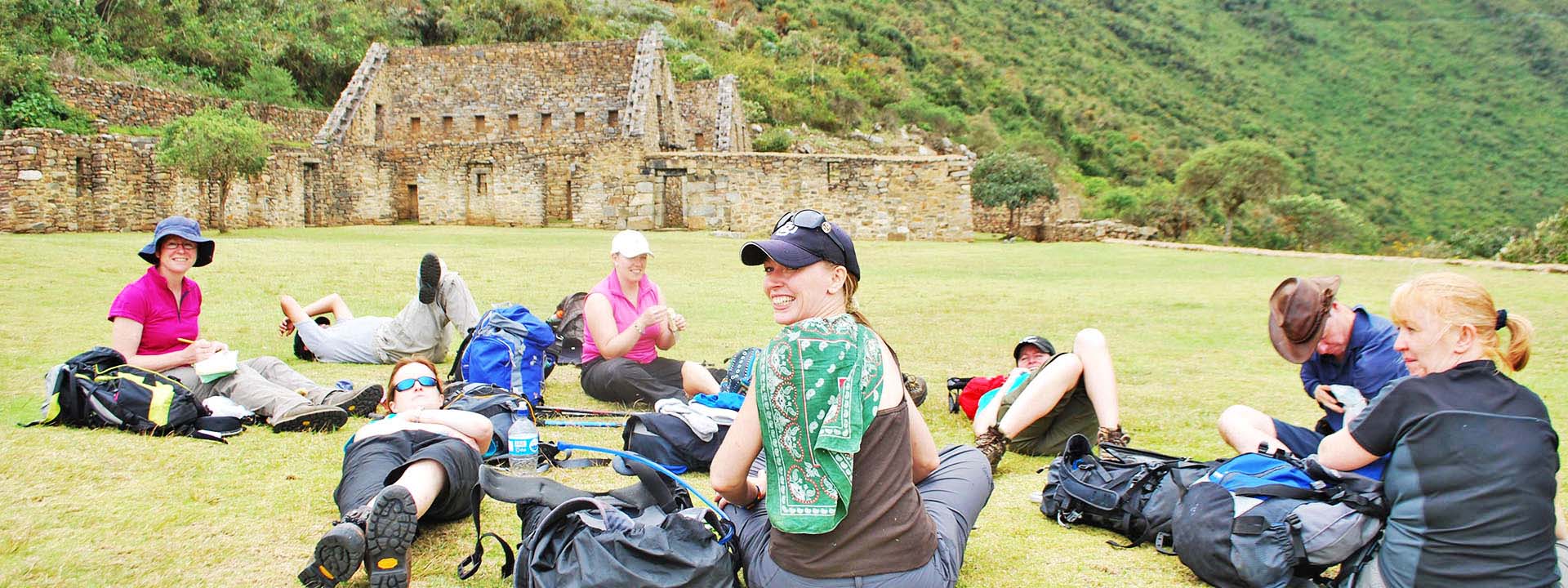
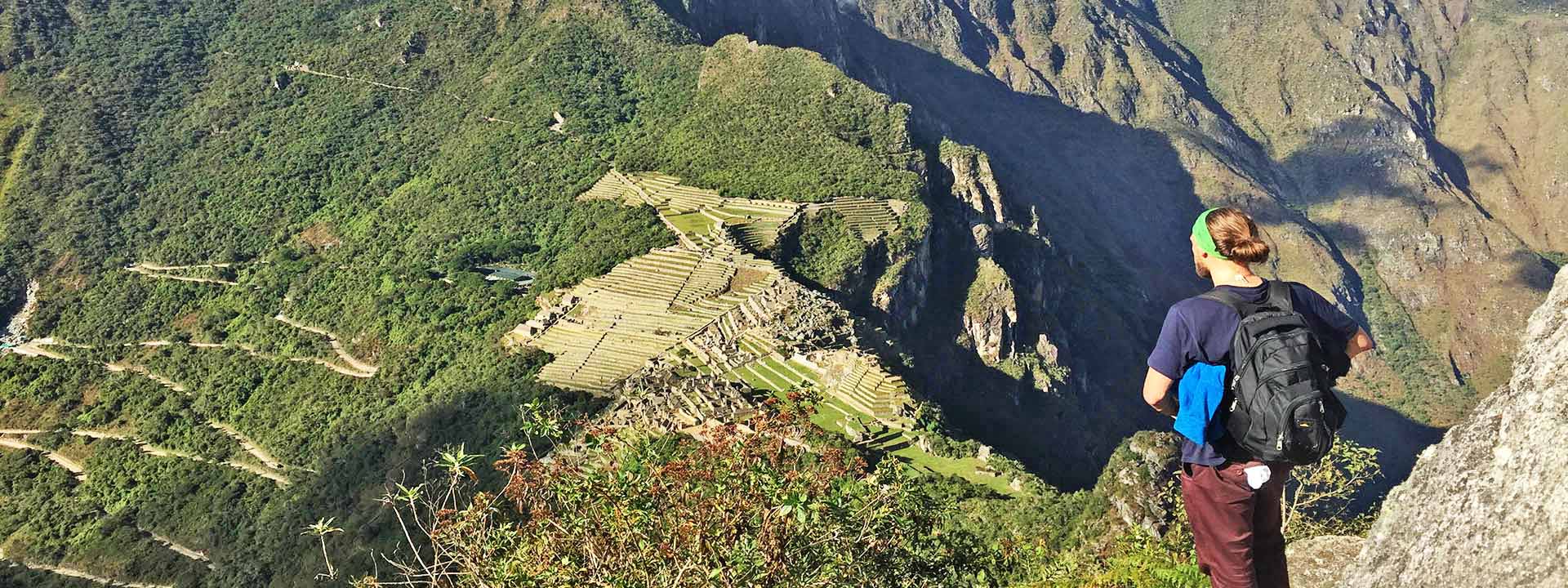
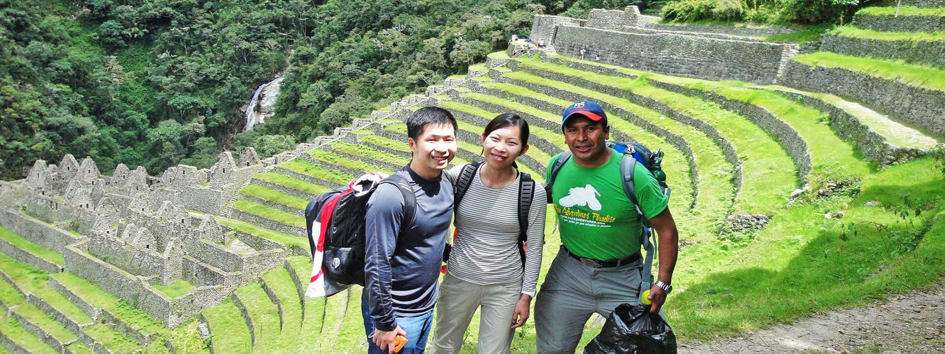
After breakfast, we start climbing for 2-3 hours up to El Mirador or Abra Q’elloqasa (2860m/9381ft) from where we have an exceptional view of the Lost City of the Incas, the legendary Machupicchu, from a different angle. We enjoy a last lunch in nature at the lookout point of Llaqtapata (2650m/8692ft) from where we can view both Machupicchu and the Salkantay Mountain and take a good rest, enjoying the added value of the Llactapata Ruins, which have recently been restored. A 2-hour descent towards the Aobamba River crossing lush bamboo forests and more orchards and coffee plantations brings us to the hydroelectric plant of Machupicchu from where we board a train that takes us to Aguas Calientes (short, scenic 40-minutes train ride). Accommodation at the chosen hotel.
Meals
B, L, D
Total distance
12 km (7,50 miles)
Estimated time
5-6 hours
Maximum altitude point
2,650 m (8,692 ft)
Campsite altitude
2,000 m (6,560 ft)
Day 4 Aguas Calientes / Machupicchu to Cusco
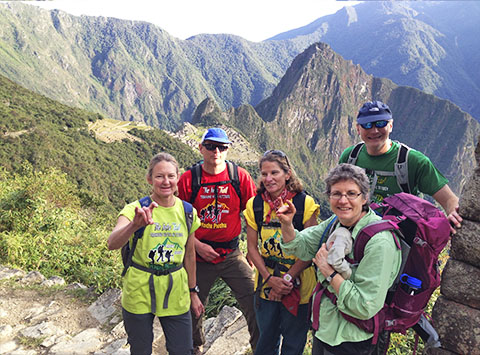
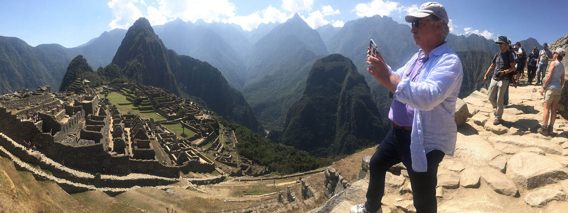
We wake up early and board a bus to Machupicchu where we begin a complete guided tour of the Inca citadel that will take approximately two hours. You will then have free time to walk around, climb up the Huaynapicchu Mountain, where one can experience spectacular views of all of Machupicchu, the valleys and mountains that surround it (please note that there are only 400 visitors allowed per day), or visit the Temple of the Moon or the impressive Inca Bridge. In the afternoon, we meet in the town of Aguas Calientes where, if you like, you can visit and relax in its hot springs. From here we take the train back to the city of Cusco, where we arrive after nightfall.
Meals
*Departure and arrival times are approximated.
*Campsites are subject to change according to our guide’s criteria and the group progress